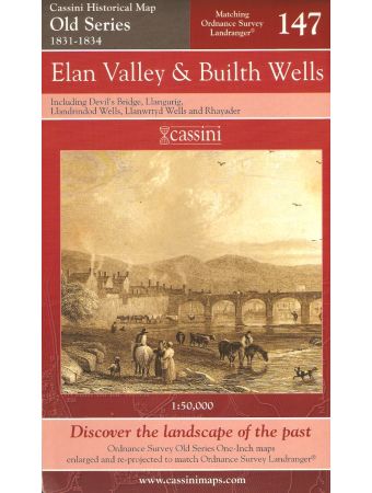


ELAN VALLEY and BUILTH WELLS, including Devil's Bridge, Llangurig, Llandrindod Wells, Llanwrtyd Wells and Rhayader. (Cassini Old Series Historical Map OSE 147 1831-1834). Matching ORDNANCE SURVEY LANDRANGER No. 147. 1:50,000.
(1834) 2006 1st edition thus. Folding map in red card covers. This map includes the Elan Valley, Builth Wells, Devil's Bridge, Llangurig, Llandrindod Wells, Llanwrtyd Wells and Rhayader.
"The Cassini Old Series provides a fascinating snapshot of the human geography of Britain in the mid-19th century. These maps are taken from the Ordnance Survey One-Inch 'Old Series' sheets, surveyed between 1791 and1874 and published - with many revisions and new editions - between 1805 and 1874." The original series of maps were 1" to the mile, and surveyed on a grid different from that employed today. Many of the sheets were printed with four separate copper plates each from separate surveys, the edges of which usually did not quite match. Reprints of all these sheets have been available in recent times. In this new series, however, the 1" maps have been reprojected onto the OS National Grid so that all the edges match up. This makes the whole country into one single sheet from which positions can be read off in National Grid numbers. This single sheet has been redivided, creating new sheets each corresponding precisely to a current Landranger map. The scale is now larger, at 1:50,000. This new series is uniquely useful for exploring the land and accurately pinpointing where things are, or used to be. Uniquely useful for comparisons with current maps on the kitchen table, too. Much to be recommended.
"The Cassini Old Series provides a fascinating snapshot of the human geography of Britain in the mid-19th century. These maps are taken from the Ordnance Survey One-Inch 'Old Series' sheets, surveyed between 1791 and1874 and published - with many revisions and new editions - between 1805 and 1874." The original series of maps were 1" to the mile, and surveyed on a grid different from that employed today. Many of the sheets were printed with four separate copper plates each from separate surveys, the edges of which usually did not quite match. Reprints of all these sheets have been available in recent times. In this new series, however, the 1" maps have been reprojected onto the OS National Grid so that all the edges match up. This makes the whole country into one single sheet from which positions can be read off in National Grid numbers. This single sheet has been redivided, creating new sheets each corresponding precisely to a current Landranger map. The scale is now larger, at 1:50,000. This new series is uniquely useful for exploring the land and accurately pinpointing where things are, or used to be. Uniquely useful for comparisons with current maps on the kitchen table, too. Much to be recommended.
£0.95
Availability:
In stock
Book Code
40364
| Author | Ordnance Survey Map. |
|---|---|
| Book Code | 40364 |
| ISBN | 1847360343 / 9781847360342 / PREVIOUS PRICE GBP 6.49. |
| Book Description | Fine new copy. |
| Book Cover | Map |
| Published Date | 2006 |
| Publisher | Cassini Publishing Limited. |
| Place | Southampton, Hampshire. |